______________ Green. Clean. Connected
- Who we are
- What we do
- Our legacy
- Our experience
- Our customers
- Join us
Tacmin.ai - Digital Intelligence Partner
Digital twin modelling & simulation
Digital twin modelling & simulation
Digital twin modelling & simulation
Turning designs and data into live operational oversight

Overview: Most sites already hold rich information—block models, mine designs, survey updates, machine guidance, OEM telemetry, and drawings for roads and services. The problem isn’t a lack of data; it’s that these sources live in different systems, update on different cadences, and rarely resolve into one view. Digital Modelling & Simulation brings them together as a single, continuously refreshed digital twin of the mine and its infrastructure. Without rebuilding what you already have, the models are normalised, time-aligned, and made decision-ready so planners, operators, and commercial teams can monitor, track, reconcile, and forecast from the same visual foundation.
Mine & Geological Modelling
This layer brings resource block models (drillholes, assays, geostatistics) into the same frame as mine geometry (pits, ramps, benches, dumps, haul roads). The outcome is a live reference showing as-designed, as-planned, and as-mined conditions in one place. Grade domains, cutback limits, and mining horizons are visible against actual excavation, enabling continuous reconciliation and clear sight of where material movement and ore exposure truly stand. |
Infrastructure Modelling
Haul roads, tailings, drainage, power, water, conveyors, civils, and fixed plants are often captured as drawings, PDFs, or photo “as-builts”. These are elevated into machine-readable 3D models that sit alongside the mine geometry. Existing and new works share one spatial baseline, so access constraints, haul distances, construction status, and interfaces are visible at a glance. That single view supports work packaging, sequencing, and progressive handover without losing the thread between design and field reality. |
Survey & Telemetry Integration
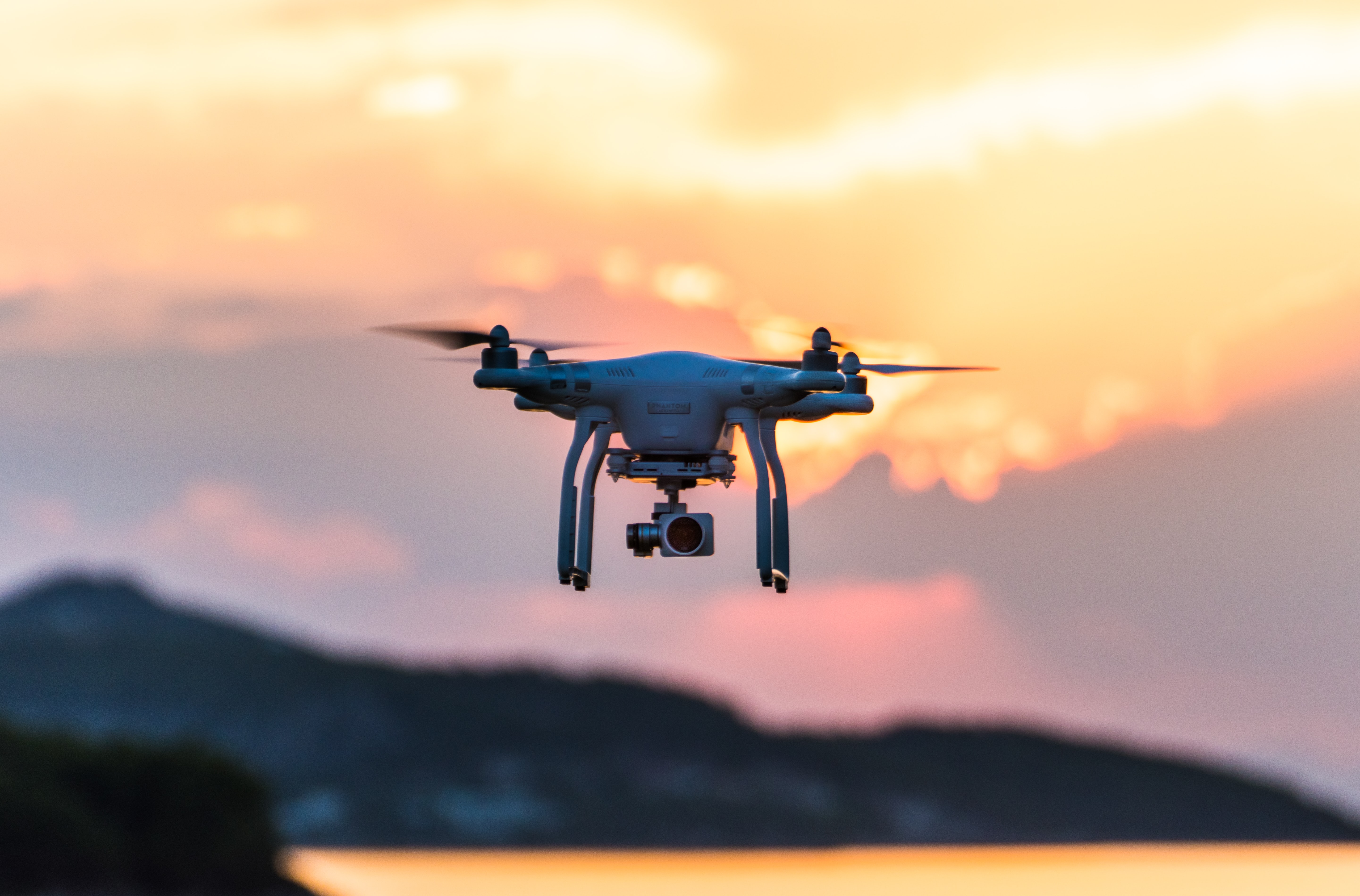
Drone photogrammetry, LiDAR, RTK GNSS, machine control files, fleet management systems, and OEM CANbus feeds are connected into the model with standardised cadence and QA. Updates land daily (or better), latencies are known, and deviations trigger review rather than being discovered weeks later. Because survey and telemetry refresh the same twin, everyone is working from today’s geometry and equipment state—not last month’s snapshot. |
Scenario Simulation
With the whole system represented digitally, alternatives can be tested before steel or diesel is committed. Haulage network options, cut-over plans, staging of infrastructure, and contractor/owner blends are simulated against the same source twin, producing before/after comparisons of cost, time, and production impact. The result is practical foresight—decisions informed by measurable consequences, not assumptions. |
Explore more services in DIGITAL CONTROL & ACCOUNTABILITY here:
Digital twin modeling & simulation
Mining project control centre
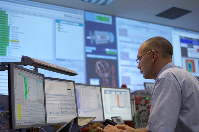
In addition to assisting our clients in delivering projects on time and within budget, it is at our project control centres where we connect digital training content with practical and classroom-based learning to ensure competence through technology.
our off-site project control centre

works in close collaboration with

our on-site project control expertise

